




























Know the carbon value of your land with a sequestration assessment
We quantify the carbon sequestration potential of landscapes and ecosystems, delivering the data needed for nature-based credits
The spatial capability behind our land-based assessments
From boundary mapping to multi-year change detection, our spatial work covers the full range of what land-based carbon projects require

Registered & issued multiple ARR projects
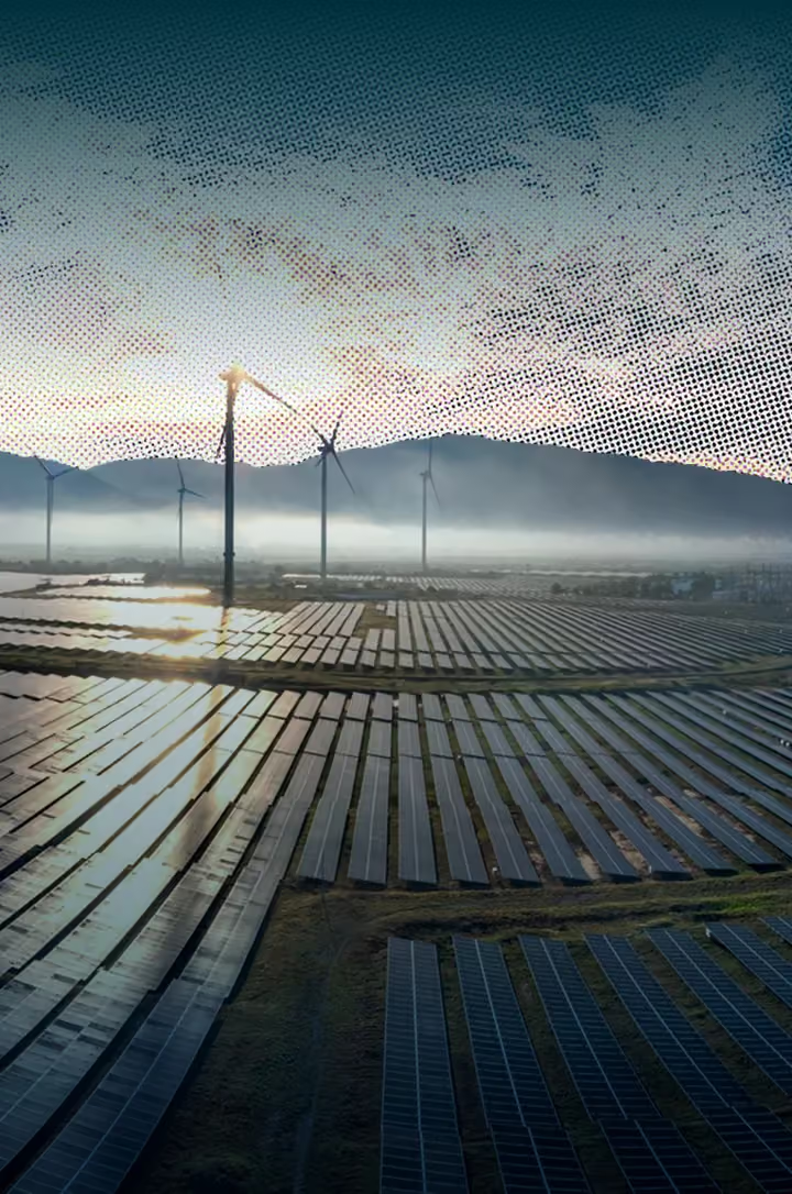
We have planted over 1,000 hectares across bamboo, mangrove, and agroforestry. Our sequestration estimates draw on real numbers since we've successfully planted, registered and issued multiple ARR projects.

No commitment required
Not every landowner wants carbon credits right away. Our report supports future planning, investor conversations, or a decision to register.

Supports all land types
We match the right methodology to your land type, whether that's ARR for plantations, blue carbon for coasts, soil carbon for farmland, or REDD+ for forests.

GIS and remote sensing integrated
For assessments spanning hundreds or thousands of hectares, we combine satellite imagery with field sampling
Why quantify the carbon value of your land before you invest or claim
An assessment turns landscape data into defensible tonnes of CO2e: the basis for ESG reporting, Scope 3 accounting, beyond-value-chain action and nature-based credits.

Know the baseline
Estimate how much carbon your landscape holds and could sequester before capital is committed.

Credit readiness
Build the data basis for crediting under programmes such as Verra (VCS) and GS-OER.

Scope 3 quantification
Quantify emission reductions from ESG-led projects that sit in your value chain, such as supplier landscapes.

Beyond-value-chain action
Size climate action and investments made outside your own operations and supply chain (BVCM).

Investor and auditor confidence
Transparent methods and evidence make claims easier to verify and disclose.

Better project design
Compare land uses, species and interventions to find where carbon value is highest.
CARBON SEQUESTRATION ASSESSMENT · SCOPE 3 AND BVCM
Scope 3 or beyond the value chain? Know where your project counts
The boundary decides how a climate action is accounted for and described. An assessment gives you the numbers; your reporting framework decides the claim.
Beyond-value-chain action
Climate action or investment outside your direct operations and supply chain
Suppliers, purchased goods, product use
Direct emissions and purchased energy
Scope 3: inside your value chain
Indirect emissions from suppliers, purchased goods and product use. A project in your supply chain can be assessed for the emission reductions it delivers.
BVCM: beyond your value chain
Climate actions or financial investments made by a company outside its own direct operations and supply chain, such as funding landscape restoration elsewhere.
BVCM complements value-chain reductions; it does not replace them.
Project area and purpose
Soil, biomass, land use
Baseline and sequestration
VCS, GS-OER or other
Scope 3, BVCM or credits
Where carbon sequestration estimates go wrong
We deliver estimates backed by methodology, field-verified data, and direct experience with what actually survives and grows.

We calibrate survival rates from our own active plantations, so the estimate reflects what the land will actually deliver.

We select species, soil strategy, and methodology together, based on our experience from comparable sites.

Our assessments include yield timelines, credit revenue models, and a pathway to registration if the client decides to go further.
How we assess carbon sequestration potential
Five stages from site assessment to a report your team can plan from.
We identify the land type to be assessed, whether that's above-ground biomass, below-ground biomass, soil carbon, or all of them.
We build the data collection strategy using field sampling with drone imagery.
We gather data through remote sensing imagery and site observations, then analyse it using allometric models and spatial tools.
We estimate current and future carbon storage, factoring in species, growth, mortality and seasonal variation.
We deliver a report covering carbon stock, sequestration projections, MRV and credit registration data.




What a carbon sequestration assessment delivers

A documented report of land type, soil conditions and suitability for restoration or plantation.

Above-ground and below-ground biomass estimation with carbon stock estimate.

An estimate of how much carbon your land will store over time, adjusted for seasonal growth patterns.

The right species and methodology for your site, based on land type and comparable project outcomes.

Estimated credit volume, pricing scenarios, and revenue projections for clients.

A roadmap to carbon credit registration, including the suggested method, estimated timeline and cost.
Sequestration expertise across industries and land types
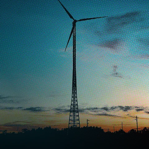
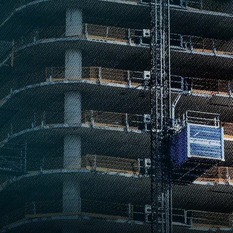
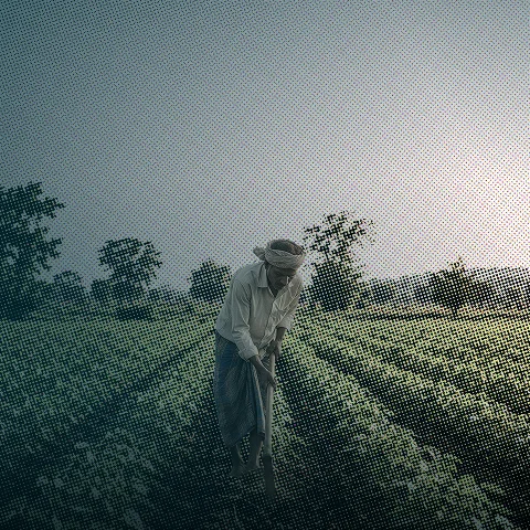
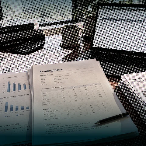
Plantations, forestry, and coastal ecosystems, each have different carbon profiles. We bring the expertise each industry and land type demands








Straight answers on soil carbon sequestration
Start with what project owners ask most about measuring forest carbon sequestration, then bring us your site details.
It's an evaluation of how much carbon dioxide a project, land use, or ecosystem is capturing and storing (e.g., through forests, soil, or other natural or engineered means).

Measurement approaches vary by project type and can include field sampling, remote sensing, and modeling. The appropriate method depends on the ecosystem and available data, and should be confirmed by a technical specialist for your specific case.
It provides the quantified basis needed to support carbon credit claims tied to sequestration-based projects (such as afforestation or soil carbon initiatives).
Forestry, agriculture, land restoration, and other nature-based projects commonly require sequestration assessment.
Reassessment is generally tied to monitoring cycles required by the applicable carbon standard, and frequency should be confirmed against that standard's specific requirements.
It quantifies how much carbon a forest, soil or ecosystem currently stores and could additionally store or remove. It uses field measurement, remote sensing and modeling, providing the technical basis for project feasibility and MRV.
Typically through a combination of field sampling (soil cores, tree plots), laboratory analysis, and remote sensing/GIS to scale measurements across an area, with recognized models used to estimate stocks and change over time.