













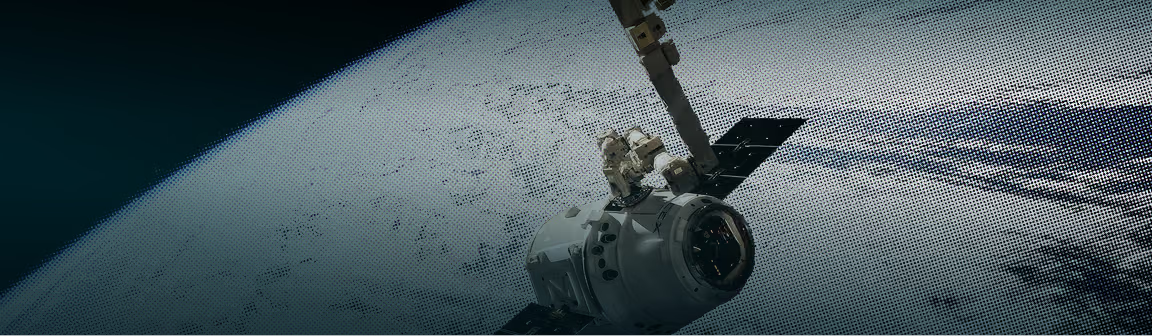
















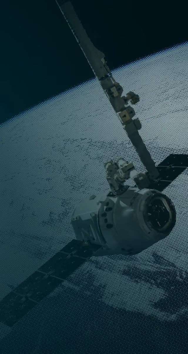
Satellite-grade visibility across every hectare of your project
GIS and remote sensing for land-based carbon projects, from boundary mapping to long-term change detection.
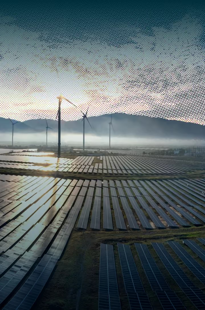
Geospatial analysis built for carbon project mapping
Our GIS and remote sensing work is integrated into real carbon project workflows, from credit registration to MRV and verification.

Integrated into the carbon project lifecycle
Our GIS assessments feed directly into project design documents, baseline studies, and monitoring reports.

Coverage at scale without field-only dependence
We combine satellite imagery with ground-sampling to give you accurate, verifiable data across the full project area.

Change detection across credit periods
For ongoing projects, we track landscape growth over time, providing the proof needed for credit issuance.

Multi-sensor and multi-temporal analysis
Optical, radar, and drone imagery layered over time to show exactly how your site has changed.
The spatial gaps that stall carbon registrations
We close the gap between what field visits capture and what registries, investors, and verification bodies actually need to see.

Without georeferenced spatial data, boundary disputes and overlap issues stall projects at validation.

Restoration projects claim vegetation growth over time. We provide the satellite imagery to back up these claims during audits.

Manual data collection is slow and expensive. Remote sensing delivers the coverage at a fraction of the time and cost.
How we deliver geospatial assessments
Five stages from initial image acquisition to verifiable spatial data your team can use.
This can be boundary mapping, vegetation monitoring, change detection, or a combination of many.
We select the best imagery source for the project's scale and terrain, then process it for the relevant area and timeframe.
We classify land cover, map vegetation density, and quantify changes across time periods relevant to the project's credit cycle
We layer remote sensing outputs with field data to validate findings and fill gaps that imagery alone cannot capture.
A complete spatial package formatted for PDDs, baseline studies and MRV reporting.


Your deliverables from every spatial assessment

Precise project boundary maps with coordinates, area calculations, and overlap checks.

A classified map of land cover types, vegetation density, and current land use.

Multi-temporal comparison showing vegetation growth, canopy changes, and land-use transitions.

Biomass indicators that complement field sampling for carbon stock estimation.

GIS-ready shapefiles, raster layers, and coordinate data for your team to use in project reports.

A comprehensive report with findings, maps, and recommendations, ready to be used into PDDs, baseline studies, or MRV frameworks.
GIS expertise across project types and industries
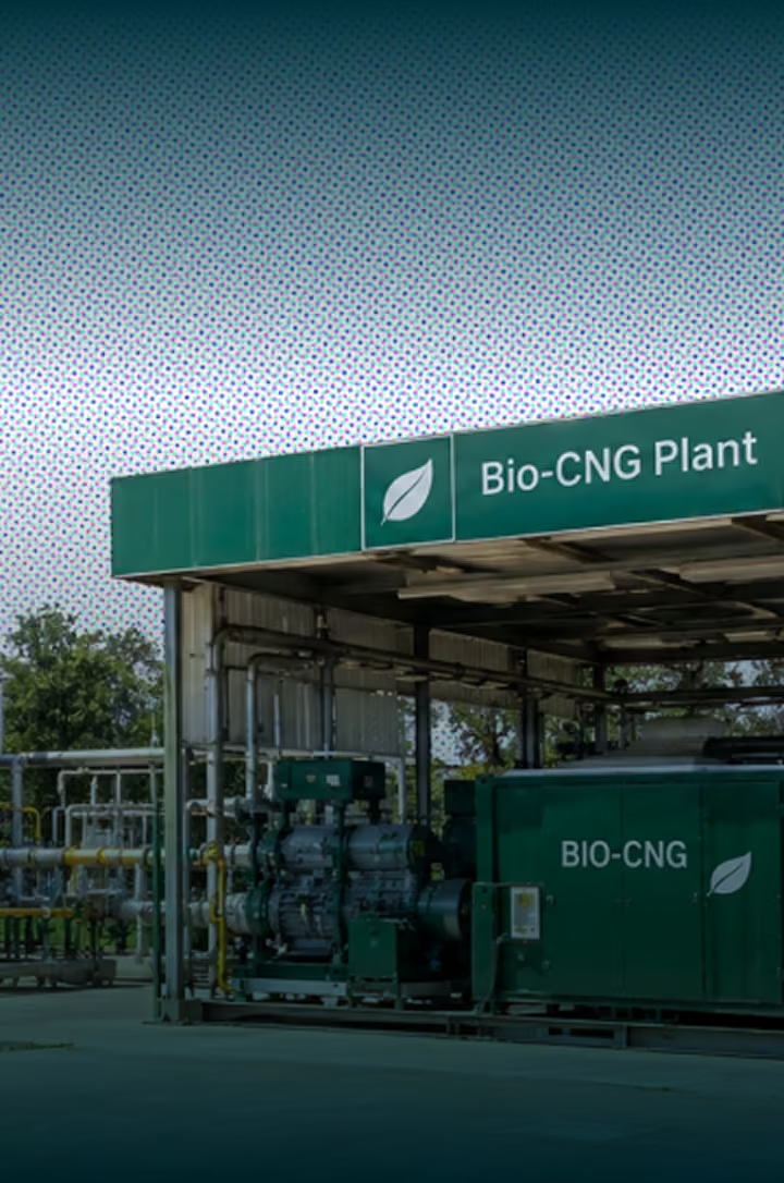
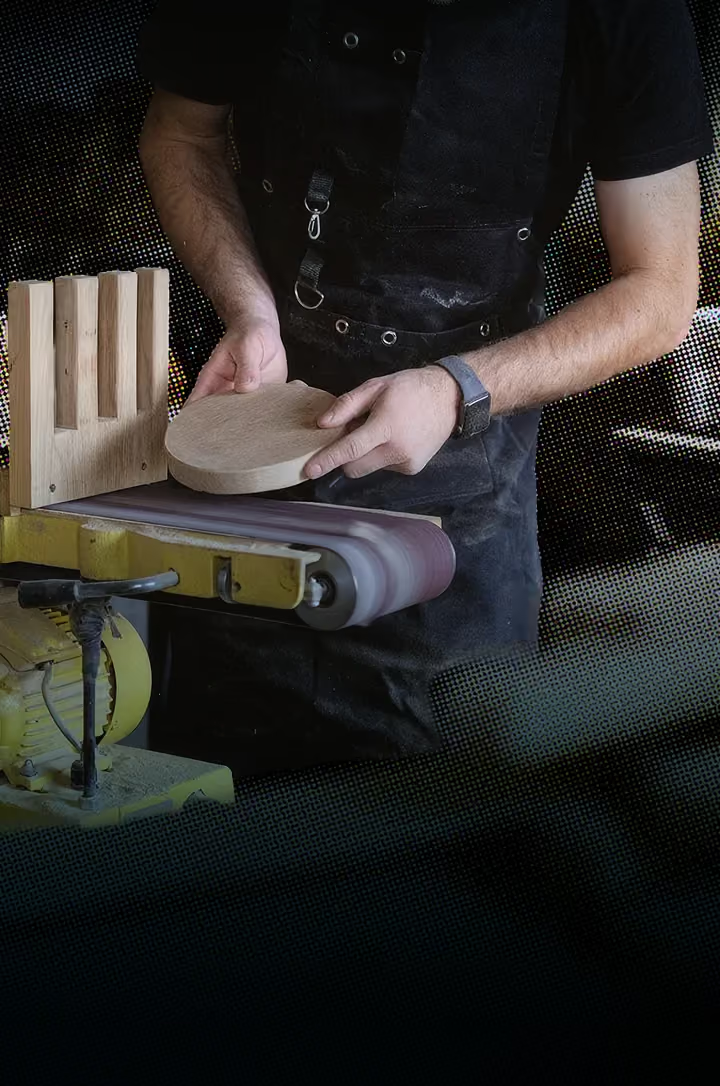
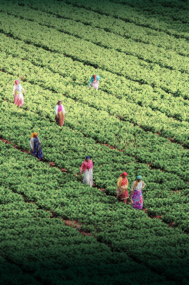
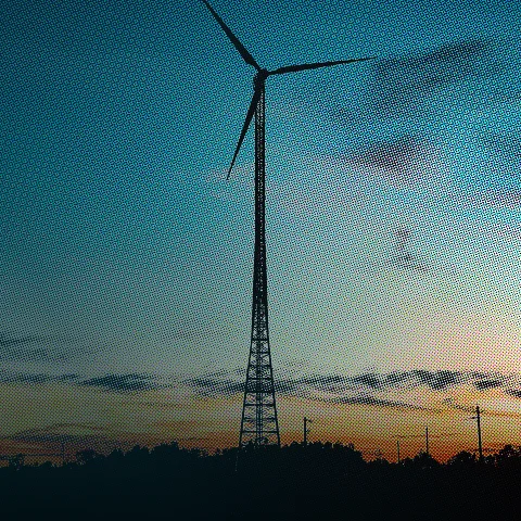
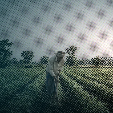
Every industry that operates on land needs spatial data, be it plantations, renewable energy sites, or coastal ecosystems. We match the approach to how your industry uses the land.









Straight answers on geospatial services
Start with what project teams ask most about satellite data, field checks, and monitoring, then bring us your land details.
These tools are typically used to map land use, monitor vegetation and land-cover change, and support baseline and ongoing monitoring for environmental and carbon projects.

Remote sensing can provide broader spatial coverage and time-series data, complementing (not necessarily replacing) field verification. The right mix depends on project needs and data quality requirements.
Yes, generally GIS-based monitoring can help track changes such as deforestation, land degradation, or vegetation growth relevant to a project's claims.
Land-based projects, such as forestry, agriculture, and land restoration, commonly benefit most, though other project types may also use spatial data for planning or verification.
Generally, remote sensing is one input among several (including field data) required by most carbon standards, sufficiency depends on the specific methodology and standard being applied, which should be verified directly.
Satellite and geospatial analysis let us map land cover, detect change (such as deforestation or restoration), estimate biomass, and monitor large or remote areas cost-effectively. This strengthens baselines and ongoing MRV while reducing field costs.
It complements rather than fully replaces field data. Field measurements calibrate and validate the satellite analysis, and combining both gives accurate, scalable and verifiable monitoring.